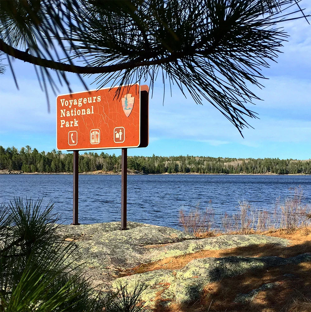
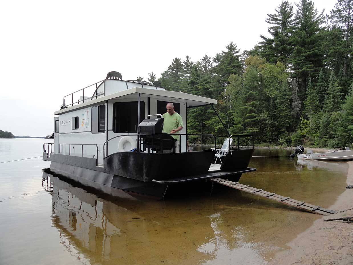
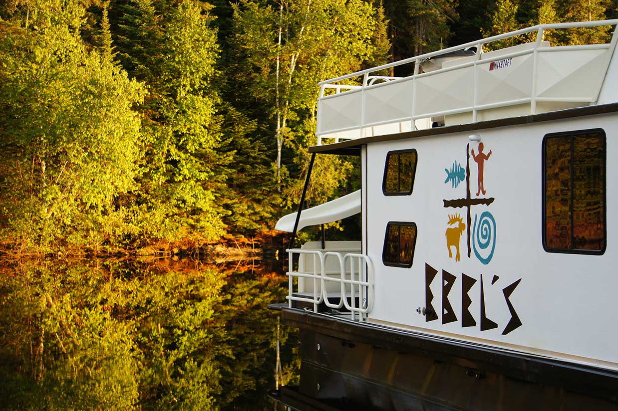
Take a tour of a Voyageur Houseboat vacation

See our Voyageur Houseboat vacation brochure


  GPS Locations
               
    UTM Coordinate System Lat/Long Coordinate System (DD MM SS)
Site Name Map# Site Type Zone Type UTM North UTM East Latitude Longitude
         
         
Long Slu K15 Houseboat Kabetogama 5367219.0 509838.5 48 27 29 -92 52 01
Lost Bay West K18 Houseboat Kabetogama 5387404.0 510758.4 48 27 35 -92 51 16
Blue Heron Point K2 Houseboat Kabetogama 5367659.5 503858.8 48 27 43 -92 56 52
Mallard Bay Point K20 Houseboat Kabetogama 5374129.5 497819.3 48 31 13 -93 01 46
Portage Beach K26 Houseboat Kabetogama 5364578.5 513458.2 18 26 03 -92 49 05
Round Bear Island K28 Houseboat Kabetogama 5365554.0 509609.4 48 26 35 -92 52 12
State Point Bay K32 Houseboat Kabetogama 5365688.5 513898.2 48 26 39 -92 48 43
Sugarbush Island West K33 Houseboat Kabetogama 5388619.5 501088.9 48 28 15 -92 59 07
Yoder Island K37 Houseboat Kabetogama 5386899.0 508698.5 48 27 19 -92 52 56
Blue Fin Bay K38 Houseboat Kabetogama 537719.5 504298.8 48 27 45 -92 58 31
Feedom Island K39 Houseboat Kabetogama 5388149.0 506818.6 48 26 54 -92 54 28
Lost Bay East K40 Houseboat Kabetogama 5387319.0 511878.4 48 27 32 -92 50 22
Twin Bay West K42 Houseboat Kabetogama 5384979.0 506983.5 48 26 16 -92 54 20
Trygg Island View K43 Houseboat Kabetogama 5373779.5 498479.2 48 31 02 -93 01 14
East 3 Sisters Island K44 Houseboat Kabetogama 5372164.0 496611.2 48 30 09 -93 02 45
Deer Point Islands East K46 Houseboat Kabetogama 5364874.5 503378.7 48 26 13 -92 57 16
Eks Bay K47 Houseboat Kabetogama 5368132.0 511108.5 48 27 58 -92 50 59
Windigo Point K48 Houseboat Kabetogama 5374630.0 495109.3 48 31 29 -93 03 58
Cutover Island View K49 Houseboat Kabetogama 5371854.5 498699.2 48 29 59 -93 01 03
Cutover Island North K51 Houseboat Kabetogama 5371199.5 500561.1 48 29 38 -92 59 33
Sand Point Island East S16 Houseboat Sand Point 5362498.5 539417.5 48 24 52 -92 28 02
Browns Bay S2 Houseboat Sand Point 5356958.5 534167.4 48 21 54 -92 32 19
Northwest Arm Beach S20 Houseboat Sand Point 5351038.5 537837.3 48 23 41 -92 29 33
Sand Point Island West S21 Houseboat Sand Point 5362478.5 539277.5 48 24 51 -92 28 09
Leech Bay S22 Houseboat Sand Point 5360257.5 533701.5 48 23 40 -92 32 41
Grassy Bay S8 Houseboat Sand Point 5357868.5 537787.4 48 22 22 -92 29 23
McManus Island N17 Houseboat Namakan 5363958.5 522977.5 48 25 42 -92 41 22
Mice Bay Beach N19 Houseboat Namakan 5372448.5 521438.2 48 30 17 -92 42 35
Blind Indian Narrows South N2 Houseboat Namakan 5365078.5 516548.1 48 26 19 -92 46 35
Mitchell Bay N21 Houseboat Namakan 5364618.5 533802.6 48 26 02 -92 32 35
Mitchell Island West N22 Houseboat Namakan 5364818.5 534107.6 48 26 08 -92 32 20
Pike Bay N32 Houseboat Namakan 5364378.5 528357.8 48 25 55 -92 36 60
Randolph Bay N34 Houseboat Namakan 5363748.5 525327.8 48 25 35 -92 39 27
Rusty Island East N36 Houseboat Namakan 5364748.5 535222.8 48 26 06 -92 31 26
Sheen Point North N39 Houseboat Namakan 5363638.5 524807.8 48 25 31 -92 39 53
Smugglers Point N40 Houseboat Namakan 5364508.5 527227.8 48 25 59 -92 37 55
Junction Bay North N50 Houseboat Namakan 5363878.5 521337.9 48 25 40 -92 42 42
Namakan Island North N51 Houseboat Namakan 5366178.5 520558.0 40 26 54 -92 43 19
Snake Island View N52 Houseboat Namakan 5372168.5 523198.1 48 30 08 -92 41 09
Gable Point N53 Houseboat Namakan 5365838.5 515078.2 48 26 37 -92 47 46
Wigwam Point East N54 Houseboat Namakan 5366028.5 519508.0 48 26 50 -92 44 10
Beaver Bay N56 Houseboat Namakan 5362998.5 531337.6 48 25 10 -92 34 35
Deep Slough N6 Houseboat Namakan 5363918.5 528817.7 48 25 40 -92 36 38
Voyageur Narrows N60 Houseboat Namakan 5370440.5 521697.1 48 29 12 -92 42 23
Namakan Island South N63 Houseboat Namakan 5385548.5 519788.0 48 26 34 -92 43 57
Depthfinder View N8 Houseboat Namakan 5364608.5 537107.5 48 26 01 -92 29 54
Ebels N9 Houseboat Namakan 5363718.5 530767.6 48 25 33 -92 35 03


Home | About | Houseboat Rentals | Voyageur National Park | Renter's Kit | Availability | Contact | Site map